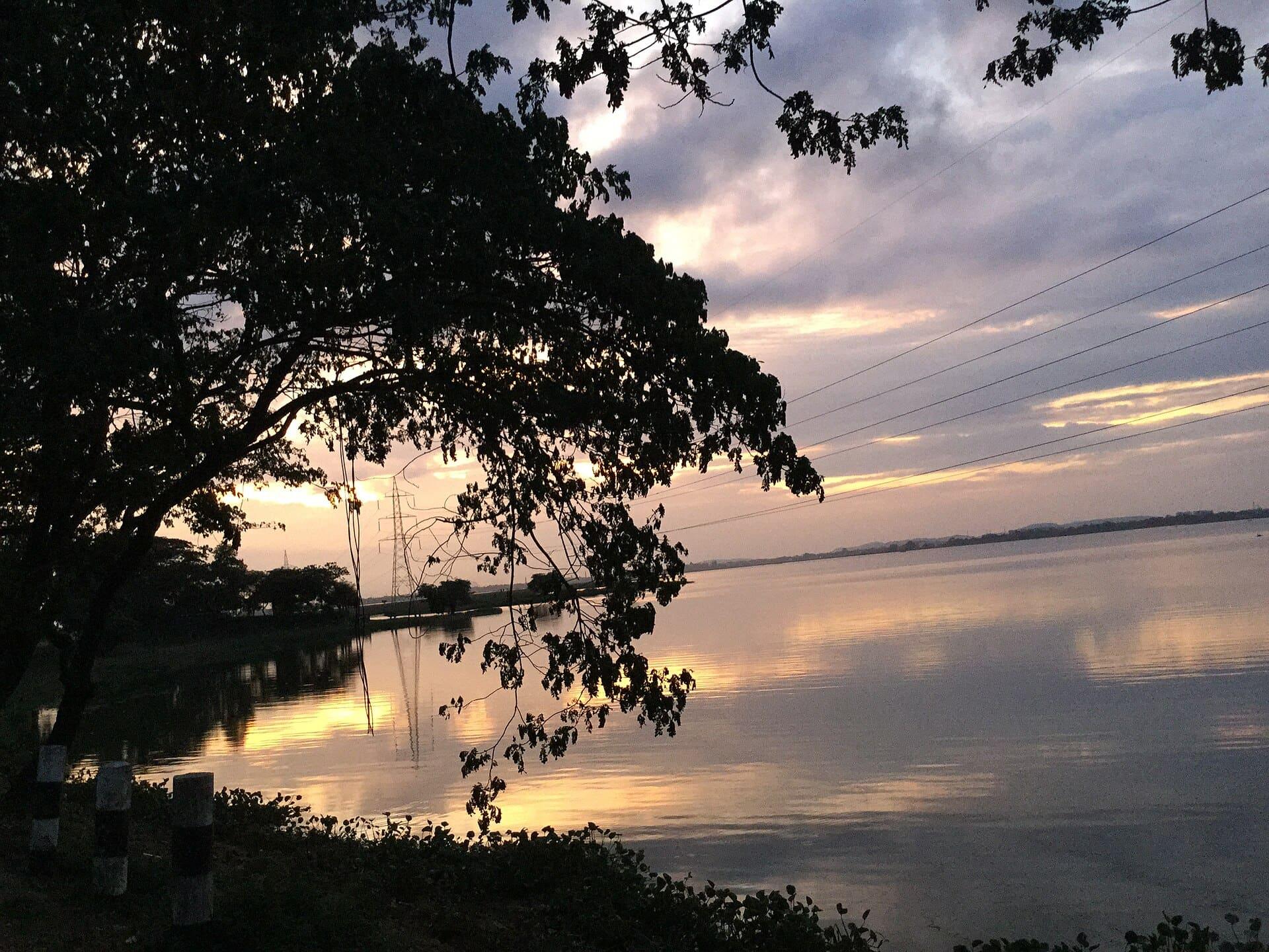
The first thing to say is that the scale does not photograph. I have tried for years. You stand at Sukleswar ghat in Guwahati, or on the deck of the ferry to North Guwahati, and in front of you is a body of moving water so wide that in the monsoon haze the far bank is a rumour. Ten kilometres across in places. Twenty in others, when it is angry.
People who grow up beside it do not call it a river in the way you would call the Yamuna a river. It is Luit. It is Burha Luit, the old one. And unusually for a river in India, it is male - the son of Brahma, not a goddess. Everything about the way Assam speaks about it treats it as a presence with a temper rather than a feature of geography.
Where it comes from, which is absurd
It rises in western Tibet near Mount Kailash and runs east - east, away from India - for about 1,700 kilometres across the Tibetan plateau as the Yarlung Tsangpo. Then it hits the eastern end of the Himalaya and does something almost unbelievable: it turns hard south and cuts straight through the mountain range at the Great Bend, dropping thousands of metres through the Yarlung Tsangpo Grand Canyon, which is deeper than the Grand Canyon in Arizona.
It comes out of the hills into Arunachal as the Siang, collects the Dibang and the Lohit, and by the time it is in the Assam plains it is the Brahmaputra and it is already enormous. Then it runs the length of the state, gathering rivers off the Himalaya to the north and the Meghalaya hills to the south, before crossing into Bangladesh as the Jamuna and joining the Ganga.
A braided river, which is the key to everything
The Brahmaputra does not have two banks and a channel. It has dozens of channels that split and rejoin around temporary islands of silt called chars, and those chars appear, grow, get farmed, and vanish. People live on them. Whole communities farm land that they know will not exist in ten years.
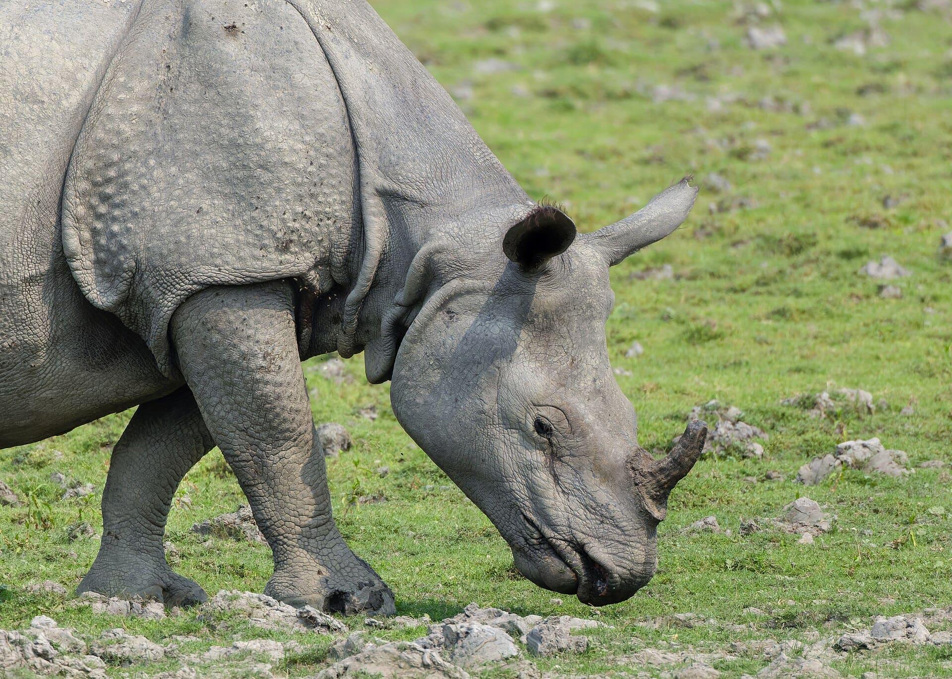
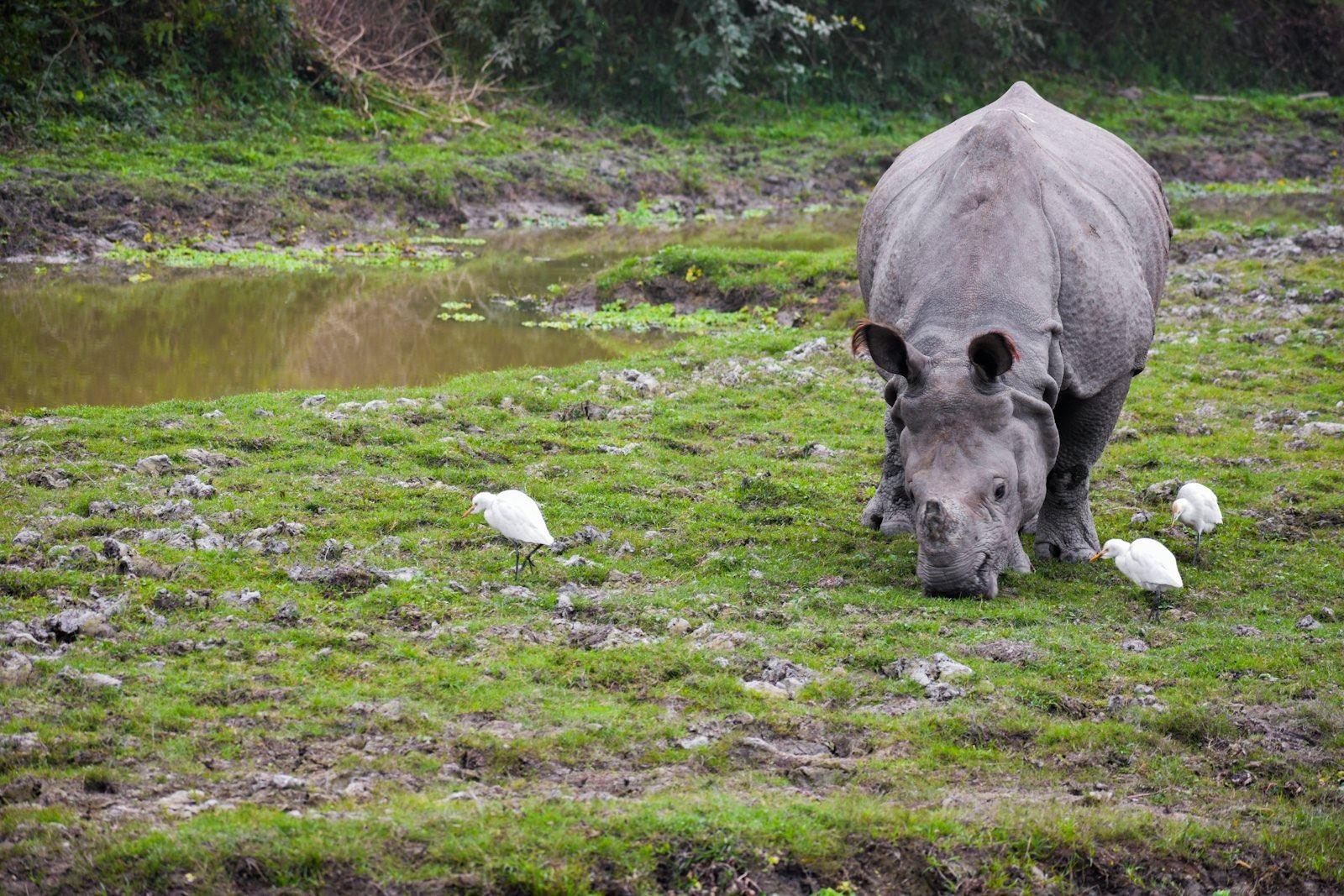
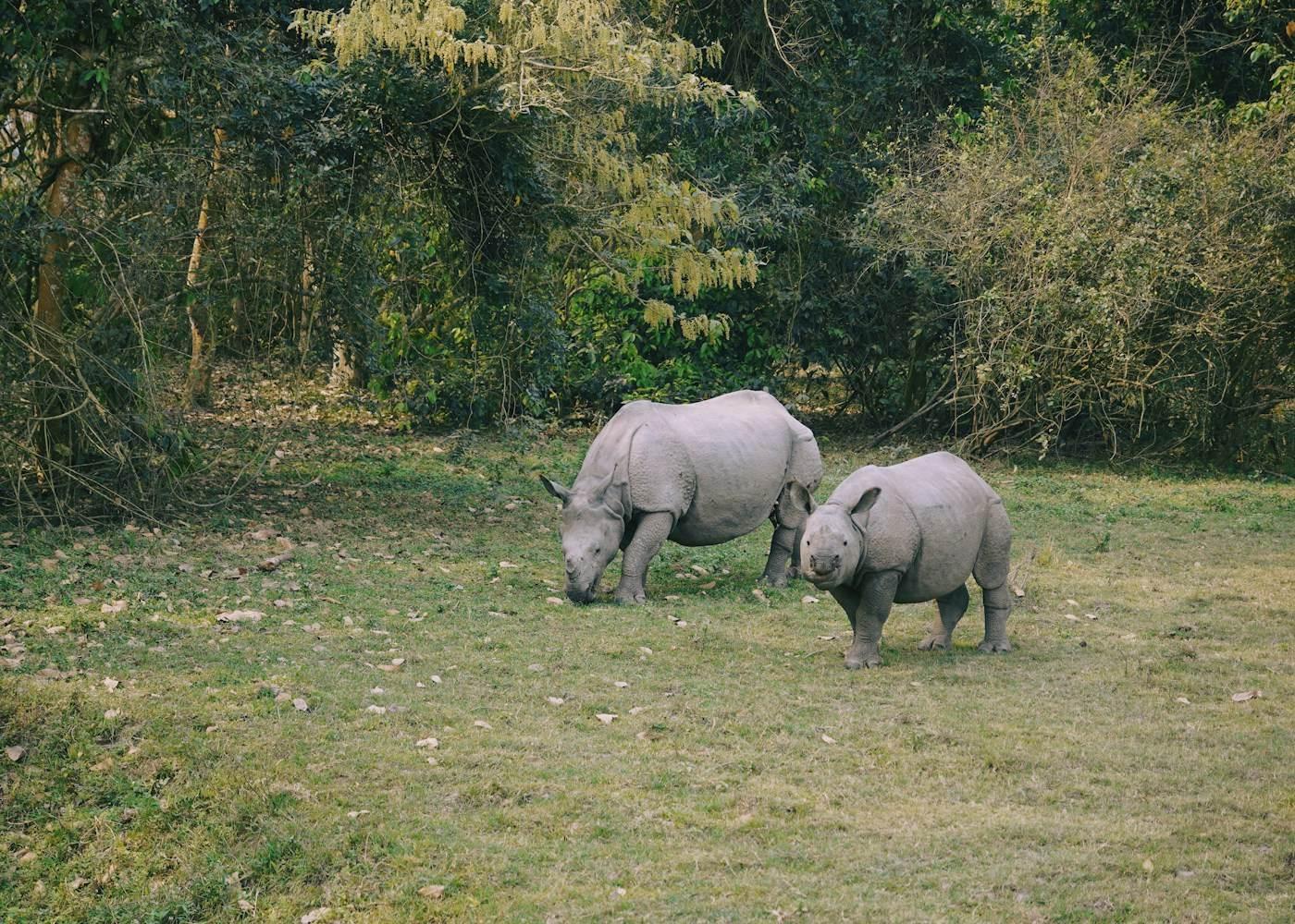
This is because the river carries an extraordinary sediment load down from young, crumbling mountains, and it drops that load across the Assam valley continuously. The map of the river is out of date the year it is printed. That single fact explains the floods, the fertility of the valley, the grassland that Kaziranga's rhinos need, and a great deal of Assamese politics.
Majuli, which is going
The largest river island in the world sits in the middle of it. Majuli is reached by a ferry that takes about an hour, and stepping off it is like stepping back several decades - bicycles, bamboo houses on stilts, rice fields, and the satras.
The satras are Vaishnavite monasteries founded from the sixteenth century onwards, and they are still living institutions. Monks dance, drum, and make the extraordinary papier-mâché masks the island is known for, some of them full-body and articulated. Sitting in on an evening prayer at a satra, with the drums and the cymbals going and the lamps lit, is one of the more transporting hours available anywhere in India.
And the island is eroding. It has lost a very large share of its area to the river over the last century. Every visit has a slight elegiac quality, because the thing you are looking at is measurably smaller than it was when you last came.
How to actually meet it
Take the sunset cruise out of Guwahati. It is touristy, it is cheap, and it is still the best hour in the city - the light goes orange, Umananda temple sits on its island in the middle of the current, and the sheer width of the thing finally lands on you.
Take the little passenger ferry to North Guwahati rather than the bridge - the one Hemanta and half of Uzan Bazar take to work. Twenty rupees, twenty minutes, standing at the rail with commuters and bicycles and a goat, watching Guwahati slide away.
And if you have the budget and four to seven days, take the multi-night cruise. It is the single most comfortable way to see Assam and almost nobody in India knows it exists - cabins facing the water, shore excursions to weaving villages and satras, birding off the deck at dawn, and a run past Kaziranga's northern bank on the longer sailings.
Why I keep going back to the bank
Every Assamese person I know has a spot on the river they go to when something is wrong. It is not sentimentality - it is scale. When the thing in front of you is ten kilometres wide and has been doing this since before the Himalaya finished rising, your own week tends to find its proportion.
In April, at Bohag Bihu, the whole state turns towards it. The songs are full of it. It floods and takes houses and people every single year, and the same people who lose things to it will tell you they could not live away from it. That is not a contradiction anyone here feels the need to resolve.
Go and stand on the bank at sunset. You will see what I mean about it not being a river.